View Poolsbrook Country Park Lake towards Erin Road Bridge
Introduction
The photograph on this page of View Poolsbrook Country Park Lake towards Erin Road Bridge by Darren Haddock as part of the Geograph project.
The Geograph project started in 2005 with the aim of publishing, organising and preserving representative images for every square kilometre of Great Britain, Ireland and the Isle of Man.

There are currently over 7.5m images from over 14,400 individuals and you can help contribute to the project by visiting https://www.geograph.org.uk
View Poolsbrook Country Park Lake towards Erin Road Bridge
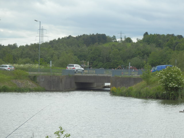
Image: © Darren Haddock Taken: 30 May 2019
Former Colliery Site
Images are licensed for reuse under creativecommons.org/licenses/by-sa/2.0
Image Location
Latitude
53.25923
Longitude
-1.346228