Heading towards Gard?s
Introduction
The photograph on this page of Heading towards Gard?s by Chris Thomas-Atkin as part of the Geograph project.
The Geograph project started in 2005 with the aim of publishing, organising and preserving representative images for every square kilometre of Great Britain, Ireland and the Isle of Man.

There are currently over 7.5m images from over 14,400 individuals and you can help contribute to the project by visiting https://www.geograph.org.uk
Heading towards Gard?s
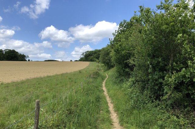
Image: © Chris Thomas-Atkin Taken: 24 May 2020
On the bridleway (number 16S) heading northwards towards the property marked on the map as Gard’s.
Images are licensed for reuse under creativecommons.org/licenses/by-sa/2.0
Image Location


Leaflet Map data © OpenStreetMap
Latitude
51.026205
Longitude
-0.232655