Leech Pond
Introduction
The photograph on this page of Leech Pond by Chris Thomas-Atkin as part of the Geograph project.
The Geograph project started in 2005 with the aim of publishing, organising and preserving representative images for every square kilometre of Great Britain, Ireland and the Isle of Man.

There are currently over 7.5m images from over 14,400 individuals and you can help contribute to the project by visiting https://www.geograph.org.uk
Leech Pond
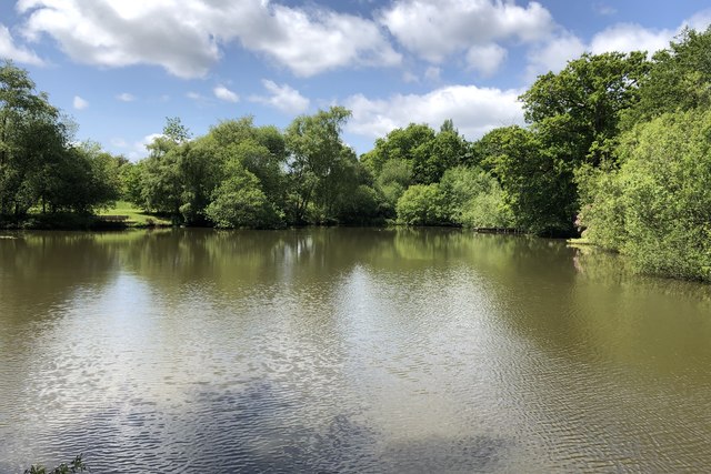
Image: © Chris Thomas-Atkin Taken: 24 May 2020
Leech Pond near Lower Beeding viewed from the B2110 (Leechpond Hill). The water from the pond feeds into the nearby ponds in Leonardslee Gardens.
Images are licensed for reuse under creativecommons.org/licenses/by-sa/2.0
Image Location
Latitude
51.029255
Longitude
-0.26206