The A487 on the western outskirts of Tremadog
Introduction
The photograph on this page of The A487 on the western outskirts of Tremadog by Eric Jones as part of the Geograph project.
The Geograph project started in 2005 with the aim of publishing, organising and preserving representative images for every square kilometre of Great Britain, Ireland and the Isle of Man.

There are currently over 7.5m images from over 14,400 individuals and you can help contribute to the project by visiting https://www.geograph.org.uk
The A487 on the western outskirts of Tremadog
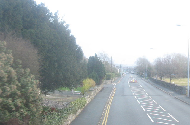
Image: © Eric Jones Taken: 5 Jan 2008
On entering Tremadog this stretch of road becomes Dublin Street. William Madocks who built this town had plans for a turnpike road and a railway line leading through Tremadog to Porthdinllaen Image where a packet port for Dublin would be built. Only the turnpike part of the dream was realised.
Images are licensed for reuse under creativecommons.org/licenses/by-sa/2.0
Image Location


Leaflet Map data © OpenStreetMap
Latitude
52.939352
Longitude
-4.145279