Radwinter Primary School
Introduction
The photograph on this page of Radwinter Primary School by John Sutton as part of the Geograph project.
The Geograph project started in 2005 with the aim of publishing, organising and preserving representative images for every square kilometre of Great Britain, Ireland and the Isle of Man.

There are currently over 7.5m images from over 14,400 individuals and you can help contribute to the project by visiting https://www.geograph.org.uk
Radwinter Primary School
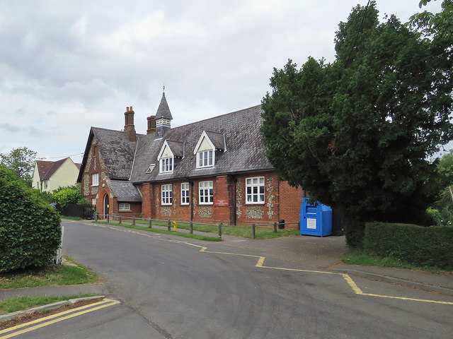
Image: © John Sutton Taken: 19 Jun 2020
The Grade II listed village school was built in the middle of the 19th century and enlarged in 1877 by W E Nesfield, the architect responsible for the restoration of the parish church a few years earlier.
Images are licensed for reuse under creativecommons.org/licenses/by-sa/2.0
Image Location


Leaflet Map data © OpenStreetMap
Latitude
52.011507
Longitude
0.339536