Old course of Field Head Lane
Introduction
The photograph on this page of Old course of Field Head Lane by Stephen Craven as part of the Geograph project.
The Geograph project started in 2005 with the aim of publishing, organising and preserving representative images for every square kilometre of Great Britain, Ireland and the Isle of Man.

There are currently over 7.5m images from over 14,400 individuals and you can help contribute to the project by visiting https://www.geograph.org.uk
Old course of Field Head Lane
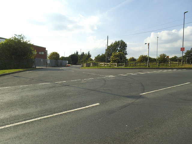
Image: © Stephen Craven Taken: 14 Jun 2020
The lane used to pass under the Wakefield to Bradford railway line, that closed in 1966. The route of the line is now the Drighlington Bypass, which the lane now meets at a right angle on a new alignment.
Images are licensed for reuse under creativecommons.org/licenses/by-sa/2.0
Image Location
Latitude
53.746727
Longitude
-1.661821