Northern end of Weare Giffard
Introduction
The photograph on this page of Northern end of Weare Giffard by Derek Harper as part of the Geograph project.
The Geograph project started in 2005 with the aim of publishing, organising and preserving representative images for every square kilometre of Great Britain, Ireland and the Isle of Man.

There are currently over 7.5m images from over 14,400 individuals and you can help contribute to the project by visiting https://www.geograph.org.uk
Northern end of Weare Giffard
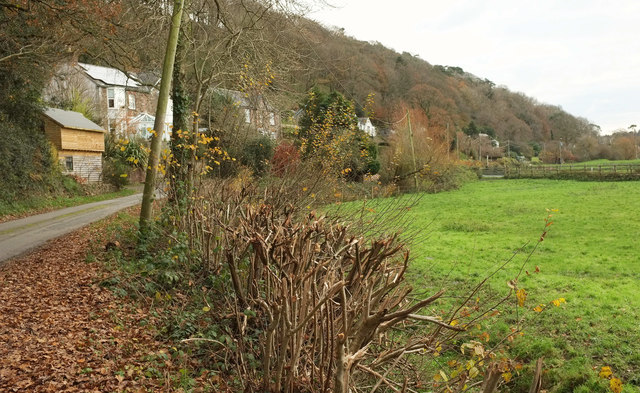
Image: © Derek Harper Taken: 1 Dec 2019
Looking the other way from Image] along the lane that winds along the north side of the Torridge flood plain through the village.
Images are licensed for reuse under creativecommons.org/licenses/by-sa/2.0
Image Location
Latitude
50.986131
Longitude
-4.189465