Bridleway heading North East towards Rushton Hill
Introduction
The photograph on this page of Bridleway heading North East towards Rushton Hill by Chris Heaton as part of the Geograph project.
The Geograph project started in 2005 with the aim of publishing, organising and preserving representative images for every square kilometre of Great Britain, Ireland and the Isle of Man.

There are currently over 7.5m images from over 14,400 individuals and you can help contribute to the project by visiting https://www.geograph.org.uk
Bridleway heading North East towards Rushton Hill
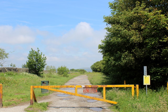
Image: © Chris Heaton Taken: 14 Jun 2020
Forms the boundary between West End Golf Course and Highroad Well Moor
Images are licensed for reuse under creativecommons.org/licenses/by-sa/2.0
Image Location
Latitude
53.727397
Longitude
-1.910995