Edington houses [8]
Introduction
The photograph on this page of Edington houses [8] by Michael Dibb as part of the Geograph project.
The Geograph project started in 2005 with the aim of publishing, organising and preserving representative images for every square kilometre of Great Britain, Ireland and the Isle of Man.

There are currently over 7.5m images from over 14,400 individuals and you can help contribute to the project by visiting https://www.geograph.org.uk
Edington houses [8]
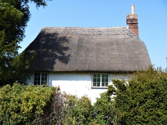
Image: © Michael Dibb Taken: 24 Apr 2020
Greater Lane Farmhouse retains its early 17th century timber framing at the rear whilst the front, seen here, was rebuilt in brick in the 18th century. Listed, grade, II, with details at: https://historicengland.org.uk/listing/the-list/list-entry/1021500 Edington is a former agricultural village which lies on the ‘springline’ of the northern escarpment of Salisbury Plain about 4 miles east of the town of Westbury. A priory was founded in the 14th century and became a monastery of the Brothers of Penitence, or Bonshommes. The magnificent monastery church continues in use as the parish church and is the home of the nationally-known annual Edington Music Festival.
Images are licensed for reuse under creativecommons.org/licenses/by-sa/2.0
Image Location


Leaflet Map data © OpenStreetMap
Latitude
51.275105
Longitude
-2.110479