The junction of Poor Hill and the Bath Road
Introduction
The photograph on this page of The junction of Poor Hill and the Bath Road by Neil Owen as part of the Geograph project.
The Geograph project started in 2005 with the aim of publishing, organising and preserving representative images for every square kilometre of Great Britain, Ireland and the Isle of Man.

There are currently over 7.5m images from over 14,400 individuals and you can help contribute to the project by visiting https://www.geograph.org.uk
The junction of Poor Hill and the Bath Road
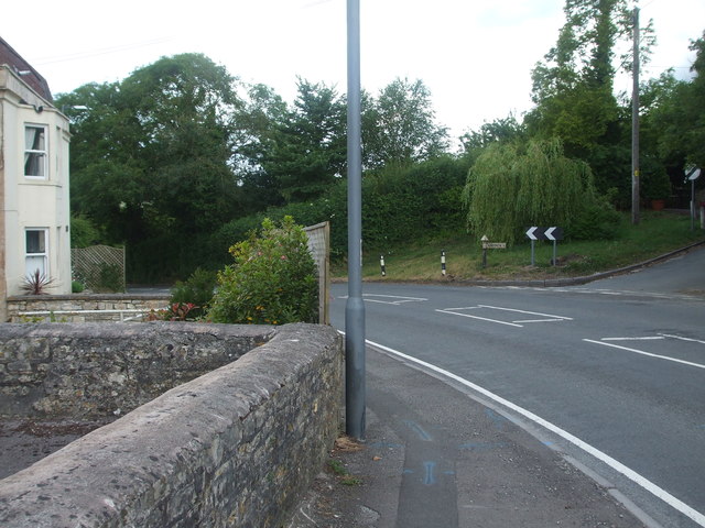
Image: © Neil Owen Taken: 17 Jun 2020
Here the main road (the A39) runs along the north of Farmborough. As it passes the top of Poor Hill, opposite Hunstrete Road, it goes past a benchmark on the wall close to the lamppost. See Image] for a look.
Images are licensed for reuse under creativecommons.org/licenses/by-sa/2.0
Image Location
Latitude
51.345076
Longitude
-2.489974