Farmland southeast of Gammaton Moor
Introduction
The photograph on this page of Farmland southeast of Gammaton Moor by Derek Harper as part of the Geograph project.
The Geograph project started in 2005 with the aim of publishing, organising and preserving representative images for every square kilometre of Great Britain, Ireland and the Isle of Man.

There are currently over 7.5m images from over 14,400 individuals and you can help contribute to the project by visiting https://www.geograph.org.uk
Farmland southeast of Gammaton Moor
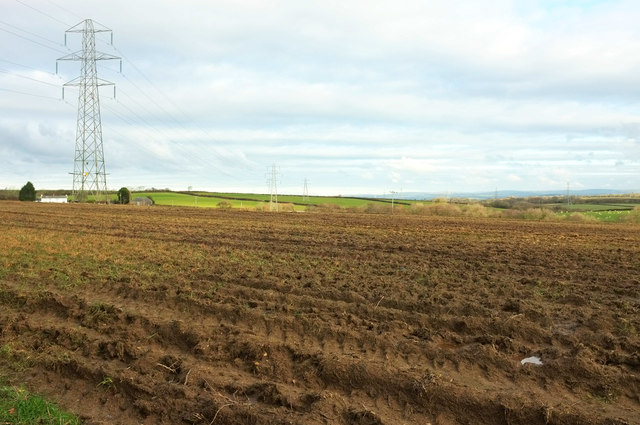
Image: © Derek Harper Taken: 1 Dec 2019
Looking right from Image The house on the left is Gammaton - to the right of it is the Methodist church http://www.geograph.org.uk/search.php?i=116526198 .
Images are licensed for reuse under creativecommons.org/licenses/by-sa/2.0
Image Location
Latitude
50.994658
Longitude
-4.151673