Track above Huntshaw Water
Introduction
The photograph on this page of Track above Huntshaw Water by Derek Harper as part of the Geograph project.
The Geograph project started in 2005 with the aim of publishing, organising and preserving representative images for every square kilometre of Great Britain, Ireland and the Isle of Man.

There are currently over 7.5m images from over 14,400 individuals and you can help contribute to the project by visiting https://www.geograph.org.uk
Track above Huntshaw Water
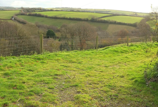
Image: © Derek Harper Taken: 1 Dec 2019
Looking right from Image] with a little overlap. Beyond the private grassy track leading to a barn is the Huntshaw Water valley. Glinting on the left is a bend on the lane up to Sheddymoor Farm, whose buildings can be seen a little more to the right, with the Huntshaw Cross transmitter mast behind.
Images are licensed for reuse under creativecommons.org/licenses/by-sa/2.0
Image Location


Leaflet Map data © OpenStreetMap
Latitude
50.994199
Longitude
-4.132555