Footpath from Penfield Road to Moorside Vale
Introduction
The photograph on this page of Footpath from Penfield Road to Moorside Vale by Stephen Craven as part of the Geograph project.
The Geograph project started in 2005 with the aim of publishing, organising and preserving representative images for every square kilometre of Great Britain, Ireland and the Isle of Man.

There are currently over 7.5m images from over 14,400 individuals and you can help contribute to the project by visiting https://www.geograph.org.uk
Footpath from Penfield Road to Moorside Vale
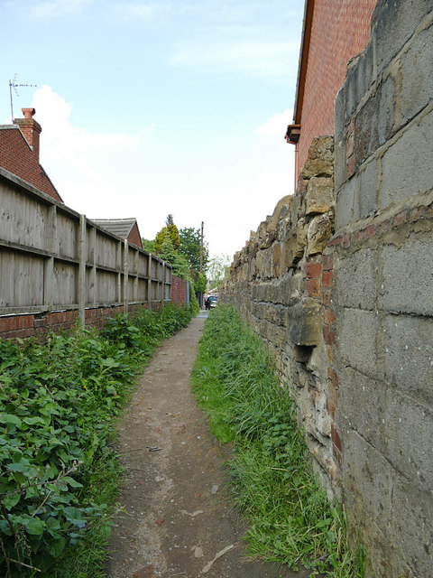
Image: © Stephen Craven Taken: 15 Jun 2020
Like many such urban footpaths this one is a right of way that follows the line of a field-edge path predating modern housing development. The wall to the right (beyond the concrete blocks on the foreground) appears to be the old field wall.
Images are licensed for reuse under creativecommons.org/licenses/by-sa/2.0
Image Location


Leaflet Map data © OpenStreetMap
Latitude
53.75318
Longitude
-1.655248