Sports fields, Adwalton Moor, Drighlington
Introduction
The photograph on this page of Sports fields, Adwalton Moor, Drighlington by Stephen Craven as part of the Geograph project.
The Geograph project started in 2005 with the aim of publishing, organising and preserving representative images for every square kilometre of Great Britain, Ireland and the Isle of Man.

There are currently over 7.5m images from over 14,400 individuals and you can help contribute to the project by visiting https://www.geograph.org.uk
Sports fields, Adwalton Moor, Drighlington
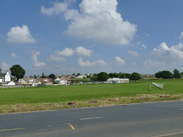
Image: © Stephen Craven Taken: 15 Jun 2020
Two areas of the moor east of Station Road are marked with long white railings, presumably for sports fields of some kind. In the Civil War battle, this area was the base for the Royalist cavalry.
Images are licensed for reuse under creativecommons.org/licenses/by-sa/2.0
Image Location


Leaflet Map data © OpenStreetMap
Latitude
53.753206
Longitude
-1.664499