The World's End, Lowdham
Introduction
The photograph on this page of The World's End, Lowdham by Alan Murray-Rust as part of the Geograph project.
The Geograph project started in 2005 with the aim of publishing, organising and preserving representative images for every square kilometre of Great Britain, Ireland and the Isle of Man.

There are currently over 7.5m images from over 14,400 individuals and you can help contribute to the project by visiting https://www.geograph.org.uk
The World's End, Lowdham
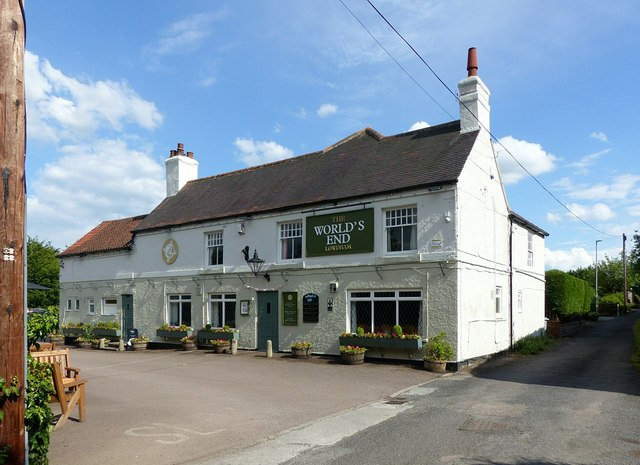
Image: © Alan Murray-Rust Taken: 13 Jun 2020
Formerly the Plough Inn, the current name derives from a group of cottages at the far end of the lane on the right http://www.geograph.org.uk/photo/6509405 .
Images are licensed for reuse under creativecommons.org/licenses/by-sa/2.0
Image Location
Latitude
53.011402
Longitude
-1.00851