The lane to Epperstone Mill
Introduction
The photograph on this page of The lane to Epperstone Mill by Alan Murray-Rust as part of the Geograph project.
The Geograph project started in 2005 with the aim of publishing, organising and preserving representative images for every square kilometre of Great Britain, Ireland and the Isle of Man.

There are currently over 7.5m images from over 14,400 individuals and you can help contribute to the project by visiting https://www.geograph.org.uk
The lane to Epperstone Mill
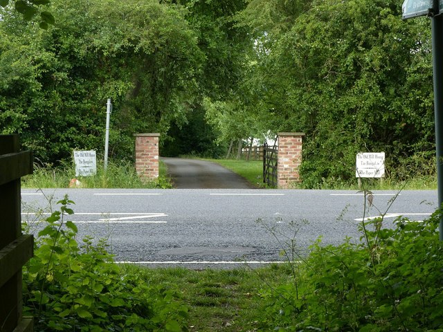
Image: © Alan Murray-Rust Taken: 13 Jun 2020
Also serving as a public bridleway as far as the mill. The lane continues behind the camera, but is intersected by the 20th century Epperstone bypass. The southern part retains bridleway status but is really only usable by pedestrians http://www.geograph.org.uk/photo/6509334
Images are licensed for reuse under creativecommons.org/licenses/by-sa/2.0
Image Location
Latitude
53.020831
Longitude
-1.018134