Meadow at Doddington
Introduction
The photograph on this page of Meadow at Doddington by pam fray as part of the Geograph project.
The Geograph project started in 2005 with the aim of publishing, organising and preserving representative images for every square kilometre of Great Britain, Ireland and the Isle of Man.

There are currently over 7.5m images from over 14,400 individuals and you can help contribute to the project by visiting https://www.geograph.org.uk
Meadow at Doddington
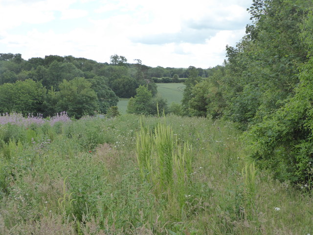
Image: © pam fray Taken: 15 Jun 2020
By the footpath running between Chequers Hill and Church Hill. The field is full of mallow, musk thistles and, I think, weld, also known as dyer's rocket.
Images are licensed for reuse under creativecommons.org/licenses/by-sa/2.0
Image Location
Latitude
51.283704
Longitude
0.77591