Threapland
Introduction
The photograph on this page of Threapland by Chris Heaton as part of the Geograph project.
The Geograph project started in 2005 with the aim of publishing, organising and preserving representative images for every square kilometre of Great Britain, Ireland and the Isle of Man.

There are currently over 7.5m images from over 14,400 individuals and you can help contribute to the project by visiting https://www.geograph.org.uk
Threapland
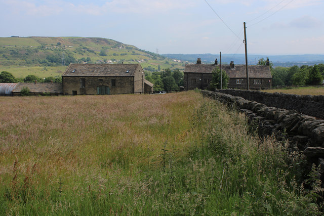
Image: © Chris Heaton Taken: 14 Jun 2020
Small farm located off Whitehill Road in the Illingworth suburb of Halifax
Images are licensed for reuse under creativecommons.org/licenses/by-sa/2.0
Image Location
Latitude
53.752902
Longitude
-1.886373