Ranmore Road
Introduction
The photograph on this page of Ranmore Road by Hugh Craddock as part of the Geograph project.
The Geograph project started in 2005 with the aim of publishing, organising and preserving representative images for every square kilometre of Great Britain, Ireland and the Isle of Man.

There are currently over 7.5m images from over 14,400 individuals and you can help contribute to the project by visiting https://www.geograph.org.uk
Ranmore Road
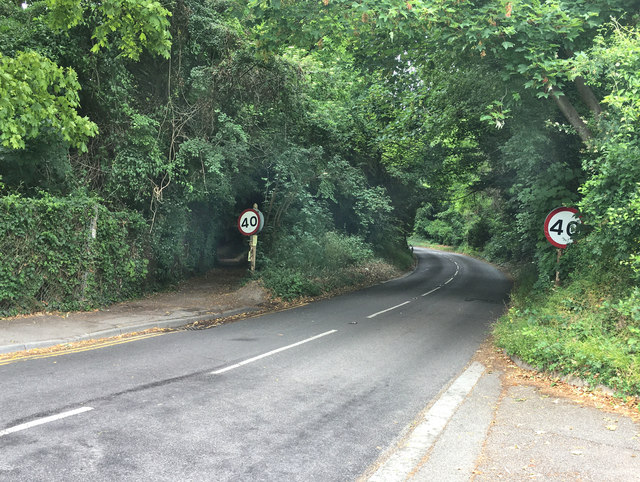
Image: © Hugh Craddock Taken: 11 Jun 2020
Ranmore Road, leading from Dorking up to Ranmore Common. Footpath 68 Dorking, just to the left of the left-hand 40mph speed restriction sign, follows the former line of the road. The present line was originally established as one of the carriage drives to Denbies (House), at the top of the hill, following a much gentler gradient for horse-drawn carriages than the road. However, the first 300m or so was adopted in place of the old public road in the mid-nineteenth century — the road now bears sharply right and uphill just before the present site of the lodge (where the carriage drive formerly continued straight on). The footpath now provides access (via a permissive National Trust linking path) to the carriage drive beyond the lodge (the lodge is in private hands, as is the final part of the carriage drive north of Ranmore Road).
Images are licensed for reuse under creativecommons.org/licenses/by-sa/2.0
Image Location
Latitude
51.237744
Longitude
-0.338735