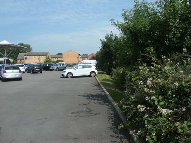
The route of Smithson's Tramroad, north from Dewsbury Road
Introduction
The photograph on this page of The route of Smithson's Tramroad, north from Dewsbury Road by Christine Johnstone as part of the Geograph project.
The Geograph project started in 2005 with the aim of publishing, organising and preserving representative images for every square kilometre of Great Britain, Ireland and the Isle of Man.
There are currently over 7.5m images from over 14,400 individuals and you can help contribute to the project by visiting https://www.geograph.org.uk

Image: © Christine Johnstone Taken: 15 Jun 2020
The tramroad was built in 1798 from Low Laithes to Thornes Wharf. Even though this section fell out of use between the 1850s and the 1880s, its route is marked by the hedged boundary. In 1850 a foundry was mapped on the far [east] side of the hedge. This [west] side was empty land, except for the tramroad, but by 1890 Manor colliery had opened here.

