Housing and car park on SW side of Havelock Street
Introduction
The photograph on this page of Housing and car park on SW side of Havelock Street by phil Richards as part of the Geograph project.
The Geograph project started in 2005 with the aim of publishing, organising and preserving representative images for every square kilometre of Great Britain, Ireland and the Isle of Man.

There are currently over 7.5m images from over 14,400 individuals and you can help contribute to the project by visiting https://www.geograph.org.uk
Housing and car park on SW side of Havelock Street
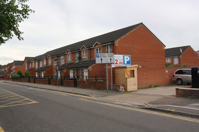
Image: © phil Richards Taken: 16 Jun 2017
Ordnance Survey documents indicate that in 1965 a benchmark levelled at 56.827m above Newlyn Datum was verified on a fire goods factory at this location
Images are licensed for reuse under creativecommons.org/licenses/by-sa/2.0
Image Location
Latitude
52.626571
Longitude
-1.137782