Minor road entering High Lands from the north
Introduction
The photograph on this page of Minor road entering High Lands from the north by Trevor Littlewood as part of the Geograph project.
The Geograph project started in 2005 with the aim of publishing, organising and preserving representative images for every square kilometre of Great Britain, Ireland and the Isle of Man.

There are currently over 7.5m images from over 14,400 individuals and you can help contribute to the project by visiting https://www.geograph.org.uk
Minor road entering High Lands from the north
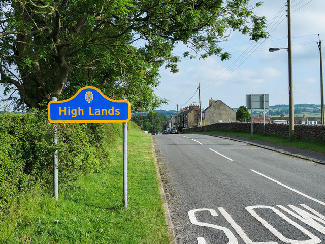
Image: © Trevor Littlewood Taken: 14 Jun 2020
High Lands is a small settlement in County Durham, along this same road as Low Lands; both are close to the larger villages of Cockfield and Butterknowle. The blue and yellow road sign is in the style used now in County Durham to announce reaching a settlement. At the time the image was recorded a local resident told the photographer that the community had made a specific request to the county council that up-to-date signs be erected due to deterioration of their existing ones.
Images are licensed for reuse under creativecommons.org/licenses/by-sa/2.0
Image Location
Latitude
54.629781
Longitude
-1.802006