B6269 south of Chak Gardens
Introduction
The photograph on this page of B6269 south of Chak Gardens by Roger Templeman as part of the Geograph project.
The Geograph project started in 2005 with the aim of publishing, organising and preserving representative images for every square kilometre of Great Britain, Ireland and the Isle of Man.

There are currently over 7.5m images from over 14,400 individuals and you can help contribute to the project by visiting https://www.geograph.org.uk
B6269 south of Chak Gardens
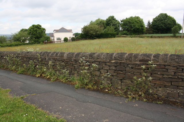
Image: © Roger Templeman Taken: 30 May 2017
There is an Ordnance Survey benchmark Image on the first square stone in the wall from the right hand edge of the image. In the background is Chak House, formerly Heaton Royds (Smallpox) Hospital.
Images are licensed for reuse under creativecommons.org/licenses/by-sa/2.0
Image Location


Leaflet Map data © OpenStreetMap
Latitude
53.823626
Longitude
-1.806885