Junction of Long Lane and The Fairways
Introduction
The photograph on this page of Junction of Long Lane and The Fairways by Roger Templeman as part of the Geograph project.
The Geograph project started in 2005 with the aim of publishing, organising and preserving representative images for every square kilometre of Great Britain, Ireland and the Isle of Man.

There are currently over 7.5m images from over 14,400 individuals and you can help contribute to the project by visiting https://www.geograph.org.uk
Junction of Long Lane and The Fairways
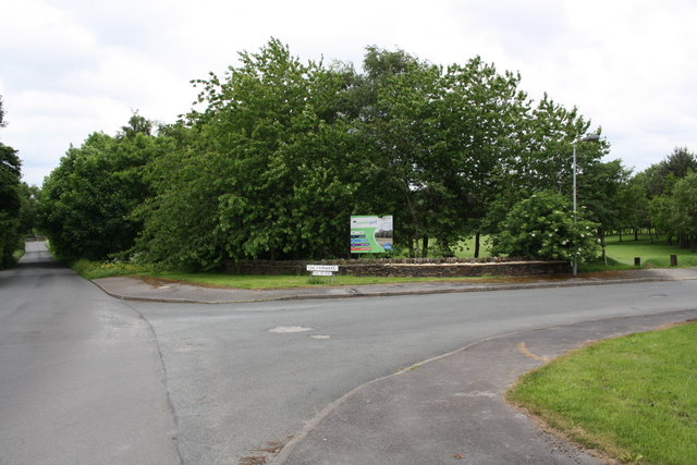
Image: © Roger Templeman Taken: 30 May 2017
Ordnance Survey documents indicate that in 1957 a benchmark levelled at 188.799m above Newlyn Datum was verified on a gatepost at a track entrance here. That was before The Fairways was constructed.
Images are licensed for reuse under creativecommons.org/licenses/by-sa/2.0
Image Location
Latitude
53.822177
Longitude
-1.80036