Offa's Dyke Path
Introduction
The photograph on this page of Offa's Dyke Path by Eirian Evans as part of the Geograph project.
The Geograph project started in 2005 with the aim of publishing, organising and preserving representative images for every square kilometre of Great Britain, Ireland and the Isle of Man.

There are currently over 7.5m images from over 14,400 individuals and you can help contribute to the project by visiting https://www.geograph.org.uk
Offa's Dyke Path
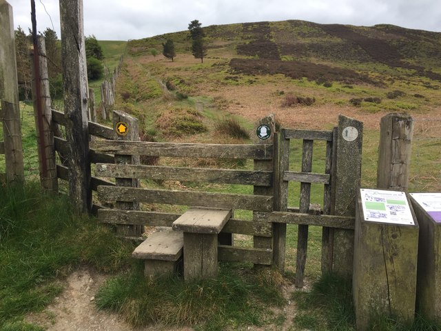
Image: © Eirian Evans Taken: 15 May 2020
Offa's Dyke Path is a long distance footpath running alongside the border between England and Wales, a beautiful 177-mile National Trail. The path skirts Moel y Plas at this point. Just beyond the stile there are ancient burial mounds on both sides of the path.
Images are licensed for reuse under creativecommons.org/licenses/by-sa/2.0
Image Location
Latitude
53.093439
Longitude
-3.243726