Further greenfield incursion
Introduction
The photograph on this page of Further greenfield incursion by Richard Bamford as part of the Geograph project.
The Geograph project started in 2005 with the aim of publishing, organising and preserving representative images for every square kilometre of Great Britain, Ireland and the Isle of Man.

There are currently over 7.5m images from over 14,400 individuals and you can help contribute to the project by visiting https://www.geograph.org.uk
Further greenfield incursion
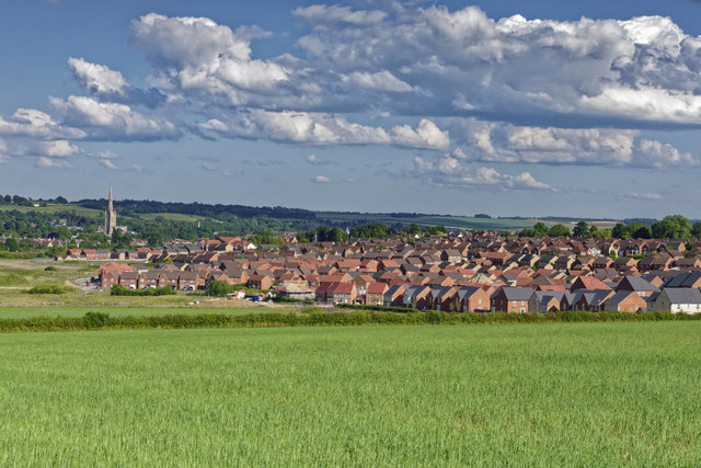
Image: © Richard Bamford Taken: 13 Jun 2020
Continued housing development on the greenfield land in Grantham. This is the Poplar Farm estate which occupies the area historically shown as Little Gonerby. Interesting to contrast with previous submissions from 13 years ago. The next phases are destined to cover the field in the foreground of the image and ultimately extend up to Gonerby Tunnel. St Wulram's Church can be seen in the background and marks the centre of the historic Town.
Images are licensed for reuse under creativecommons.org/licenses/by-sa/2.0
Image Location
Latitude
52.921823
Longitude
-0.664431