Gated end of Maltings Lane
Introduction
The photograph on this page of Gated end of Maltings Lane by Richard Bamford as part of the Geograph project.
The Geograph project started in 2005 with the aim of publishing, organising and preserving representative images for every square kilometre of Great Britain, Ireland and the Isle of Man.

There are currently over 7.5m images from over 14,400 individuals and you can help contribute to the project by visiting https://www.geograph.org.uk
Gated end of Maltings Lane
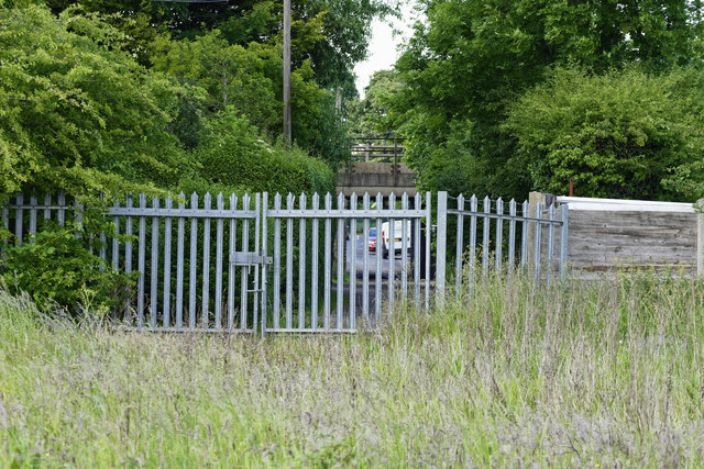
Image: © Richard Bamford Taken: 13 Jun 2020
Previously Maltings lane extended forward into the image through where the gate now is and into allotments (which have all now been ploughed in). Bridge in the background carries the Grantham to Nottingham line over Maltings Lane. Historically this area was the home of the maltings (hence the road name) and had railway sidings to service it.
Images are licensed for reuse under creativecommons.org/licenses/by-sa/2.0
Image Location
Latitude
52.923172
Longitude
-0.656506