Entering Bittaford
Introduction
The photograph on this page of Entering Bittaford by jeff collins as part of the Geograph project.
The Geograph project started in 2005 with the aim of publishing, organising and preserving representative images for every square kilometre of Great Britain, Ireland and the Isle of Man.

There are currently over 7.5m images from over 14,400 individuals and you can help contribute to the project by visiting https://www.geograph.org.uk
Entering Bittaford
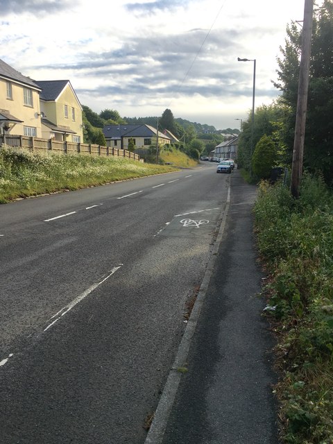
Image: © jeff collins Taken: 14 Jun 2020
The B3213 passes through the village. Seen here heading in the direction of Wrangaton.
Images are licensed for reuse under creativecommons.org/licenses/by-sa/2.0
Image Location
Latitude
50.396225
Longitude
-3.880468