The Tin Tabernacle, Galleybird Lane
Introduction
The photograph on this page of The Tin Tabernacle, Galleybird Lane by Simon Carey as part of the Geograph project.
The Geograph project started in 2005 with the aim of publishing, organising and preserving representative images for every square kilometre of Great Britain, Ireland and the Isle of Man.

There are currently over 7.5m images from over 14,400 individuals and you can help contribute to the project by visiting https://www.geograph.org.uk
The Tin Tabernacle, Galleybird Lane
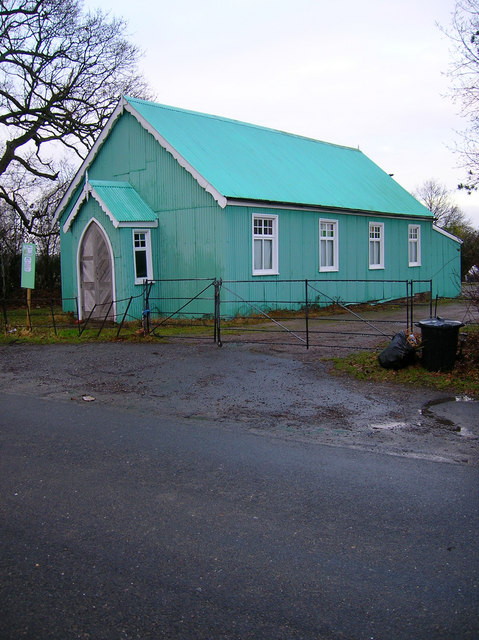
Image: © Simon Carey Taken: 6 Jan 2008
No longer a place of worship but a hall open for bookings on the lane from Deadmantree Hill to Barcombe.
Images are licensed for reuse under creativecommons.org/licenses/by-sa/2.0
Image Location
Latitude
50.923525
Longitude
0.010609