Brokes Road
Introduction
The photograph on this page of Brokes Road by Ian Capper as part of the Geograph project.
The Geograph project started in 2005 with the aim of publishing, organising and preserving representative images for every square kilometre of Great Britain, Ireland and the Isle of Man.

There are currently over 7.5m images from over 14,400 individuals and you can help contribute to the project by visiting https://www.geograph.org.uk
Brokes Road
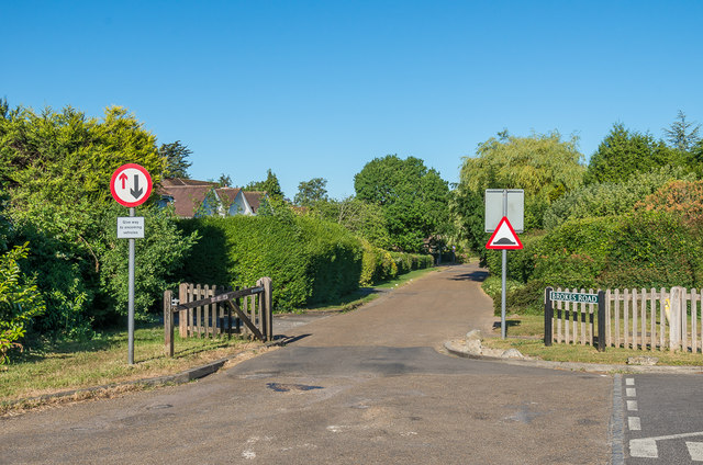
Image: © Ian Capper Taken: 6 Jun 2020
Private road, regularly used as a cut through avoiding Reigate Hill, hence the narrowing here to control speed and the gate giving the facility to close the road to through traffic (although rarely, if ever, used). On the right is Beech Road, also private.
Images are licensed for reuse under creativecommons.org/licenses/by-sa/2.0
Image Location
Latitude
51.246591
Longitude
-0.206353