The Culter Burn below Kennerty Road bridge
Introduction
The photograph on this page of The Culter Burn below Kennerty Road bridge by Stephen Craven as part of the Geograph project.
The Geograph project started in 2005 with the aim of publishing, organising and preserving representative images for every square kilometre of Great Britain, Ireland and the Isle of Man.

There are currently over 7.5m images from over 14,400 individuals and you can help contribute to the project by visiting https://www.geograph.org.uk
The Culter Burn below Kennerty Road bridge
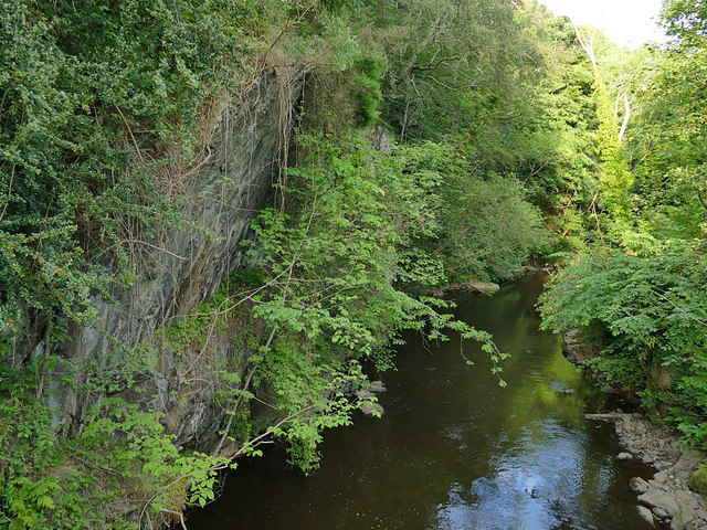
Image: © Stephen Craven Taken: 2 Jul 2019
Just out of sight is the weir for Kennerty Upper Mills.
Images are licensed for reuse under creativecommons.org/licenses/by-sa/2.0
Image Location
Latitude
57.095548
Longitude
-2.272288