The dam and level control for Llyn y Briw
Introduction
The photograph on this page of The dam and level control for Llyn y Briw by John Haynes as part of the Geograph project.
The Geograph project started in 2005 with the aim of publishing, organising and preserving representative images for every square kilometre of Great Britain, Ireland and the Isle of Man.

There are currently over 7.5m images from over 14,400 individuals and you can help contribute to the project by visiting https://www.geograph.org.uk
The dam and level control for Llyn y Briw
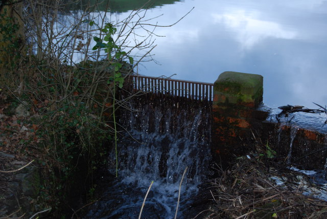
Image: © John Haynes Taken: 6 Jan 2008
This spring and burn fed lake has a small dam at its east end to control the level. There is a boat house and mention of "private fishing", so presumably it can be regarded as a fishing pond.
Images are licensed for reuse under creativecommons.org/licenses/by-sa/2.0
Image Location
Latitude
52.827523
Longitude
-3.217564