Myers Lane
Introduction
The photograph on this page of Myers Lane by Gordon Hatton as part of the Geograph project.
The Geograph project started in 2005 with the aim of publishing, organising and preserving representative images for every square kilometre of Great Britain, Ireland and the Isle of Man.

There are currently over 7.5m images from over 14,400 individuals and you can help contribute to the project by visiting https://www.geograph.org.uk
Myers Lane
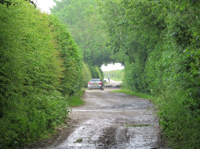
Image: © Gordon Hatton Taken: 13 Jun 2020
The vehicle has just left the Equestrian Centre the entrance to which is the gap on the left. Looking towards Yafforth along Myers Lane which is a bridleway with vehicle access.
Images are licensed for reuse under creativecommons.org/licenses/by-sa/2.0
Image Location
Latitude
54.336258
Longitude
-1.491367