A467 entering Newbridge/Trecelyn
Introduction
The photograph on this page of A467 entering Newbridge/Trecelyn by Graham Horn as part of the Geograph project.
The Geograph project started in 2005 with the aim of publishing, organising and preserving representative images for every square kilometre of Great Britain, Ireland and the Isle of Man.

There are currently over 7.5m images from over 14,400 individuals and you can help contribute to the project by visiting https://www.geograph.org.uk
A467 entering Newbridge/Trecelyn
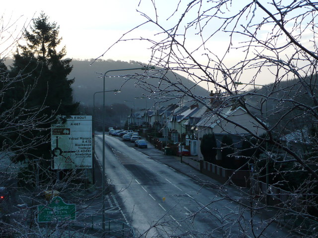
Image: © Graham Horn Taken: 6 Jan 2008
One might have expected the town sign to be further north, but no, here it is, behind the tree branches below the roundabout directional sign. Taken from a footbridge crossing the high speed road.
Images are licensed for reuse under creativecommons.org/licenses/by-sa/2.0
Image Location
Latitude
51.663911
Longitude
-3.138832