Bassets Close Footpath
Introduction
The photograph on this page of Bassets Close Footpath by Richard Bamford as part of the Geograph project.
The Geograph project started in 2005 with the aim of publishing, organising and preserving representative images for every square kilometre of Great Britain, Ireland and the Isle of Man.

There are currently over 7.5m images from over 14,400 individuals and you can help contribute to the project by visiting https://www.geograph.org.uk
Bassets Close Footpath
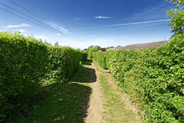
Image: © Richard Bamford Taken: 25 May 2020
Bassetts Close footpath viewed from the footpath junction at the top of the hill. Runs behind houses on Elms View on the right.
Images are licensed for reuse under creativecommons.org/licenses/by-sa/2.0
Image Location
Latitude
52.932509
Longitude
-0.671392