Wildlife pond
Introduction
The photograph on this page of Wildlife pond by Richard Bamford as part of the Geograph project.
The Geograph project started in 2005 with the aim of publishing, organising and preserving representative images for every square kilometre of Great Britain, Ireland and the Isle of Man.

There are currently over 7.5m images from over 14,400 individuals and you can help contribute to the project by visiting https://www.geograph.org.uk
Wildlife pond
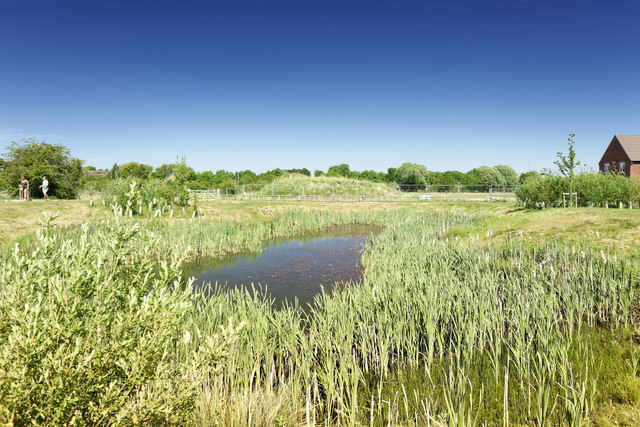
Image: © Richard Bamford Taken: 25 May 2020
What the developers call a 'wildlife pond'. In reality it exists to bring the spring to the surface and channel it off into Running Furrows and potentially the balancing pond, avoiding flooding.
Images are licensed for reuse under creativecommons.org/licenses/by-sa/2.0
Image Location
Latitude
52.921132
Longitude
-0.658949