Road to Great Torrington
Introduction
The photograph on this page of Road to Great Torrington by Derek Harper as part of the Geograph project.
The Geograph project started in 2005 with the aim of publishing, organising and preserving representative images for every square kilometre of Great Britain, Ireland and the Isle of Man.

There are currently over 7.5m images from over 14,400 individuals and you can help contribute to the project by visiting https://www.geograph.org.uk
Road to Great Torrington
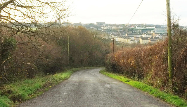
Image: © Derek Harper Taken: 1 Dec 2019
Looking left from Image The road runs through the access land of Great Torrington Common, at first on the left, and from the bend on both sides.
Images are licensed for reuse under creativecommons.org/licenses/by-sa/2.0
Image Location
Latitude
50.961227
Longitude
-4.145428