Footpath to Rhiw Syr Dafydd School, Oakdale
Introduction
The photograph on this page of Footpath to Rhiw Syr Dafydd School, Oakdale by M J Roscoe as part of the Geograph project.
The Geograph project started in 2005 with the aim of publishing, organising and preserving representative images for every square kilometre of Great Britain, Ireland and the Isle of Man.

There are currently over 7.5m images from over 14,400 individuals and you can help contribute to the project by visiting https://www.geograph.org.uk
Footpath to Rhiw Syr Dafydd School, Oakdale
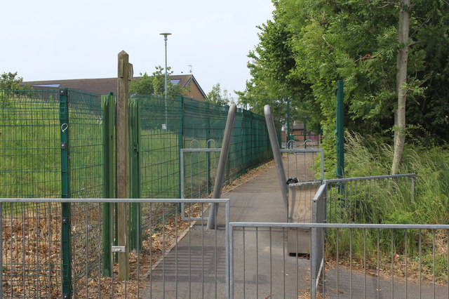
Image: © M J Roscoe Taken: 12 Jun 2020
Public footpath, between sports pitch and hedge, from road (right, out of shot) to rear of school. An opposite view to Image
Images are licensed for reuse under creativecommons.org/licenses/by-sa/2.0
Image Location
Latitude
51.680575
Longitude
-3.172373