View of Kinnettles, Angus
Introduction
The photograph on this page of View of Kinnettles, Angus by Alan Morrison as part of the Geograph project.
The Geograph project started in 2005 with the aim of publishing, organising and preserving representative images for every square kilometre of Great Britain, Ireland and the Isle of Man.

There are currently over 7.5m images from over 14,400 individuals and you can help contribute to the project by visiting https://www.geograph.org.uk
View of Kinnettles, Angus
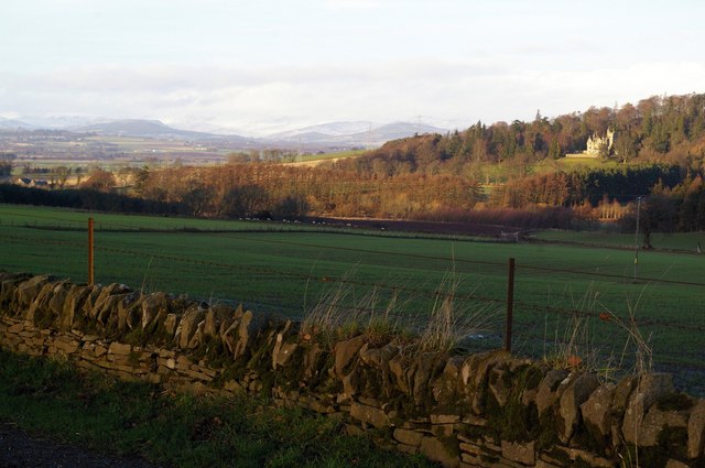
Image: © Alan Morrison Taken: 6 Jan 2008
This picture was taken from the West Mains of Kincaldrum farm road and shows the Kinnettles area with a fair view of Strathmore, with the Grampian Mountains in the background. Kinnettles House can be clearly seen at the top right of the picture.
Images are licensed for reuse under creativecommons.org/licenses/by-sa/2.0
Image Location
Latitude
56.595187
Longitude
-2.934731