Stream and path, Chew Stoke
Introduction
The photograph on this page of Stream and path, Chew Stoke by Derek Harper as part of the Geograph project.
The Geograph project started in 2005 with the aim of publishing, organising and preserving representative images for every square kilometre of Great Britain, Ireland and the Isle of Man.

There are currently over 7.5m images from over 14,400 individuals and you can help contribute to the project by visiting https://www.geograph.org.uk
Stream and path, Chew Stoke
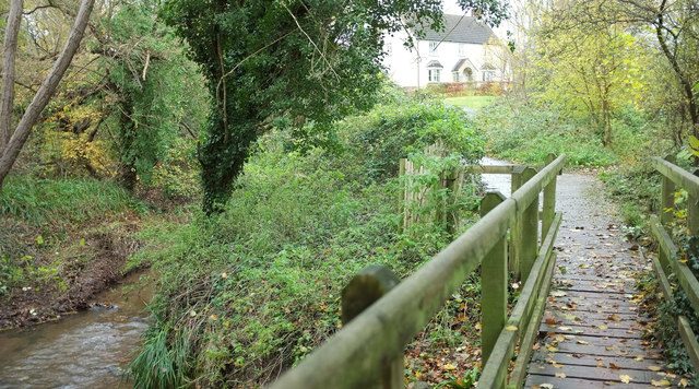
Image: © Derek Harper Taken: 25 Nov 2019
The footbridge Image] https://www.somersetheritage.org.uk/record/63811 from which Image] and Image] were taken; the latter has the stretch of Chew Stoke Brook on the left. Along footpath footpath CL 4/6 is the scene in Image
Images are licensed for reuse under creativecommons.org/licenses/by-sa/2.0
Image Location


Leaflet Map data © OpenStreetMap
Latitude
51.353677
Longitude
-2.628357