The Square, Barcombe Cross
Introduction
The photograph on this page of The Square, Barcombe Cross by Simon Carey as part of the Geograph project.
The Geograph project started in 2005 with the aim of publishing, organising and preserving representative images for every square kilometre of Great Britain, Ireland and the Isle of Man.

There are currently over 7.5m images from over 14,400 individuals and you can help contribute to the project by visiting https://www.geograph.org.uk
The Square, Barcombe Cross
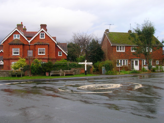
Image: © Simon Carey Taken: 6 Jan 2008
Point where High Street meets School Hill, carrying the line from Chithurst and Newick from the left, and Barcombe Mills Road taking the lane to its namesake to the right.
Images are licensed for reuse under creativecommons.org/licenses/by-sa/2.0
Image Location
Latitude
50.925162
Longitude
0.019928