Path to Wood Barn Farm
Introduction
The photograph on this page of Path to Wood Barn Farm by Neil Owen as part of the Geograph project.
The Geograph project started in 2005 with the aim of publishing, organising and preserving representative images for every square kilometre of Great Britain, Ireland and the Isle of Man.

There are currently over 7.5m images from over 14,400 individuals and you can help contribute to the project by visiting https://www.geograph.org.uk
Path to Wood Barn Farm
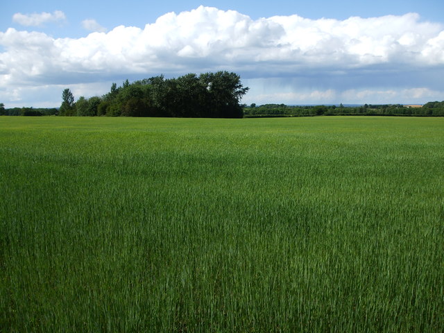
Image: © Neil Owen Taken: 5 Jun 2020
Starting from the west of Stanton Park woods, the path fringes fields which are growing well despite the dry Spring.
Images are licensed for reuse under creativecommons.org/licenses/by-sa/2.0
Image Location


Leaflet Map data © OpenStreetMap
Latitude
51.515662
Longitude
-2.160923