Approximate route of Smithson's tramroad
Introduction
The photograph on this page of Approximate route of Smithson's tramroad by Christine Johnstone as part of the Geograph project.
The Geograph project started in 2005 with the aim of publishing, organising and preserving representative images for every square kilometre of Great Britain, Ireland and the Isle of Man.

There are currently over 7.5m images from over 14,400 individuals and you can help contribute to the project by visiting https://www.geograph.org.uk
Approximate route of Smithson's tramroad
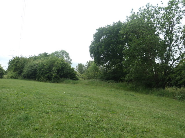
Image: © Christine Johnstone Taken: 9 Jun 2020
Smithson's tramroad was built in 1798. A public footpath follows the route of the tramroad most of the way from Weavers Chase to Park Mill Lane, but not along this section which passes through Low Laithes golf course.
Images are licensed for reuse under creativecommons.org/licenses/by-sa/2.0
Image Location
Latitude
53.688881
Longitude
-1.538266