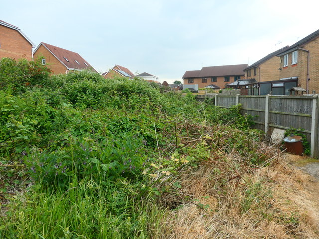
The former route of Smithson's tramroad
Introduction
The photograph on this page of The former route of Smithson's tramroad by Christine Johnstone as part of the Geograph project.
The Geograph project started in 2005 with the aim of publishing, organising and preserving representative images for every square kilometre of Great Britain, Ireland and the Isle of Man.
There are currently over 7.5m images from over 14,400 individuals and you can help contribute to the project by visiting https://www.geograph.org.uk

Image: © Christine Johnstone Taken: 9 Jun 2020
The tramroad ran for 4 miles from pits at Low Laithes to Thornes Wharf on the River Calder. It opened in 1798 and this section closed about 1850. The route was followed by a public footpath to Flanshaw Lane until the houses off Willow Chase were built and the path diverted.

