Traditional farmhouse (disused)
Introduction
The photograph on this page of Traditional farmhouse (disused) by Graham Cole as part of the Geograph project.
The Geograph project started in 2005 with the aim of publishing, organising and preserving representative images for every square kilometre of Great Britain, Ireland and the Isle of Man.

There are currently over 7.5m images from over 14,400 individuals and you can help contribute to the project by visiting https://www.geograph.org.uk
Traditional farmhouse (disused)
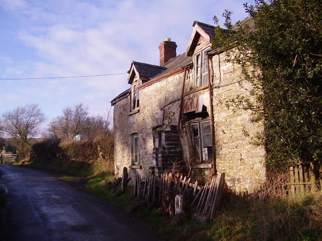
Image: © Graham Cole Taken: 6 Jan 2008
Sad to see the decay here but there was a serious bulge in the front wall. Behind the house was a useful stone barn with a bendy roof on it.
Images are licensed for reuse under creativecommons.org/licenses/by-sa/2.0
Image Location


Leaflet Map data © OpenStreetMap
Latitude
52.135562
Longitude
-3.178586