Footpath junction, Occupation Lane
Introduction
The photograph on this page of Footpath junction, Occupation Lane by Alan Murray-Rust as part of the Geograph project.
The Geograph project started in 2005 with the aim of publishing, organising and preserving representative images for every square kilometre of Great Britain, Ireland and the Isle of Man.

There are currently over 7.5m images from over 14,400 individuals and you can help contribute to the project by visiting https://www.geograph.org.uk
Footpath junction, Occupation Lane
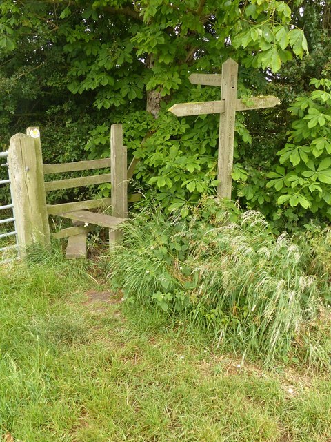
Image: © Alan Murray-Rust Taken: 7 Jun 2020
The fingers still refer to Occupation Lane as a 'Road used as a public path' (RUPP), now redesignated as Restricted Byway.
Images are licensed for reuse under creativecommons.org/licenses/by-sa/2.0
Image Location
Latitude
52.988679
Longitude
-0.948101