
Byway 277_55
Introduction
The photograph on this page of Byway 277_55 by Glyn Baker as part of the Geograph project.
The Geograph project started in 2005 with the aim of publishing, organising and preserving representative images for every square kilometre of Great Britain, Ireland and the Isle of Man.

There are currently over 7.5m images from over 14,400 individuals and you can help contribute to the project by visiting https://www.geograph.org.uk
Byway 277_55
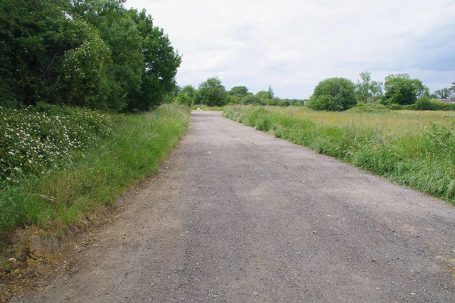
Image: © Glyn Baker Taken: 9 Jun 2020
This 882m long byway connects Horsmanside and Merthing Lane. A little beyond this point it is no longer open to Horses & Carts or Motor Vehicles (except solo motorcycles). It soon became clear why the ban is in place. I took a number of photos of ruts deeper than I have seen before until Image took the biscuit! The Image is also a challenge.
Images are licensed for reuse under creativecommons.org/licenses/by-sa/2.0
Image Location

Latitude
51.635342
Longitude
0.204799