A view of Heanton
Introduction
The photograph on this page of A view of Heanton by Roger A Smith as part of the Geograph project.
The Geograph project started in 2005 with the aim of publishing, organising and preserving representative images for every square kilometre of Great Britain, Ireland and the Isle of Man.

There are currently over 7.5m images from over 14,400 individuals and you can help contribute to the project by visiting https://www.geograph.org.uk
A view of Heanton
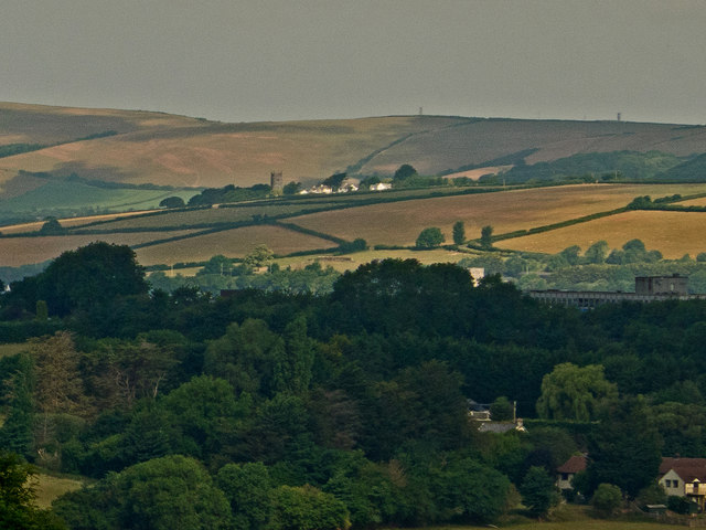
Image: © Roger A Smith Taken: 9 Jun 2020
Heanton Church is clearly visible to the left of centre. The rooftop of Petroc College is amongst the trees to the right.
Images are licensed for reuse under creativecommons.org/licenses/by-sa/2.0
Image Location
Latitude
51.100786
Longitude
-4.1416