Former Cascade
Introduction
The photograph on this page of Former Cascade by Darren Haddock as part of the Geograph project.
The Geograph project started in 2005 with the aim of publishing, organising and preserving representative images for every square kilometre of Great Britain, Ireland and the Isle of Man.

There are currently over 7.5m images from over 14,400 individuals and you can help contribute to the project by visiting https://www.geograph.org.uk
Former Cascade
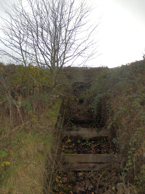
Image: © Darren Haddock Taken: 14 Nov 2017
Former cascade that originally took surface water and treated water from the steel works site.
Images are licensed for reuse under creativecommons.org/licenses/by-sa/2.0
Image Location
Latitude
53.405141
Longitude
-1.401905