Port Elphinstone Primary School
Introduction
The photograph on this page of Port Elphinstone Primary School by Bill Harrison as part of the Geograph project.
The Geograph project started in 2005 with the aim of publishing, organising and preserving representative images for every square kilometre of Great Britain, Ireland and the Isle of Man.

There are currently over 7.5m images from over 14,400 individuals and you can help contribute to the project by visiting https://www.geograph.org.uk
Port Elphinstone Primary School
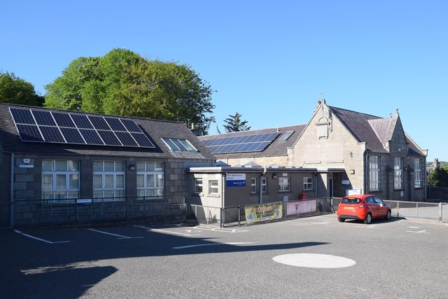
Image: © Bill Harrison Taken: 31 May 2020
Built 1870 and extended at various times. According to the school website, electricity was connected in 1950 and central heating was installed in 1954. School roll (2019-20): 87 in five composite classes.
Images are licensed for reuse under creativecommons.org/licenses/by-sa/2.0
Image Location
Latitude
57.271808
Longitude
-2.372086